Services
Offers surveying services using state of the art instruments.
- Home
- Services
- Leveling services using gyroscopic Laser Levels.
- Vertical Plumb Lasers for the set out of positions on the ceilings.
- Topographic surveys using RTK GPS and Robotic one man Total Stations.
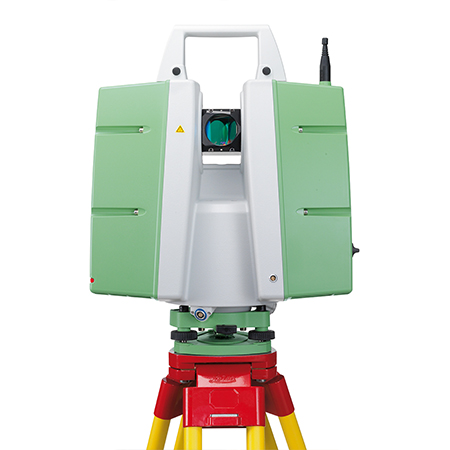
- Architectural and Archeological surveys using Total Stations & Colour Laser Scanners.
- Ortho Photography.
- Truviews and point cloud data.
- Engineering surveys of steel structures, and piping layouts.
- Set out of foundations & buildings using robotic total Stations.
- Volumetric computations of excavations & Landfills.
- GPS static data logging.
- Contouring of land mass.
- Division of property.
- Property limits on the national grid co-ordinate system.
- Set out of levels to mean sea level.